Vermont Township
Then & Now Project
Developed by the Black Earth Historical Society in collaboration with the town of Vermont, Dane County, Wisconsin beginning in 2022, and with partial funding by Wisconsin Humanities, this 2023 exhibit and e-book looks at:
- historical land use
- farming systems
- families
Links below to digital versions of both the exhibit and book at dropbox.com, a file sharing website.
16-page Then & Now Exhibit
74-page Then & Now Book
"You have done an unbelievably great job documenting the historic changes over the years in the area," said Vermont township resident Elizabeth Herrling. "What a valuable resource for future generations."
Also, link below to town of Vermont's 217-page book published in 1977:
History of Vermont
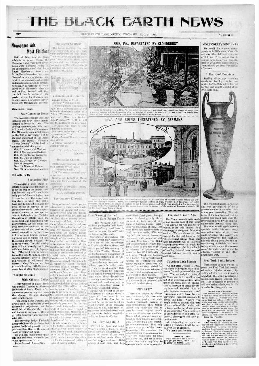
Black Earth Newspapers Online
As of 2023, digital access to Black Earth newspapers from 1870 to 1975 is available on the Archive of Wisconsin Newspapers and Badgerlink through the Black Earth Library website.
- Go to blackearthlibrary.org
- Click Online Resources at top of home page
- Click link to Archive of Wisconsin Newspapers
- IMPORTANT! Click pink button top right for Search Historical Newspapers
- An instructional video and written instructions available on the site if needed, or contact the Black Earth Public Library for help
- Direct link at: https://badgerlink.newsmemory.com/wna/badgerlink/

Resources for local history including 116 photographs of Black Earth
Find Black Earth High School photos
Find Black Earth village president photos
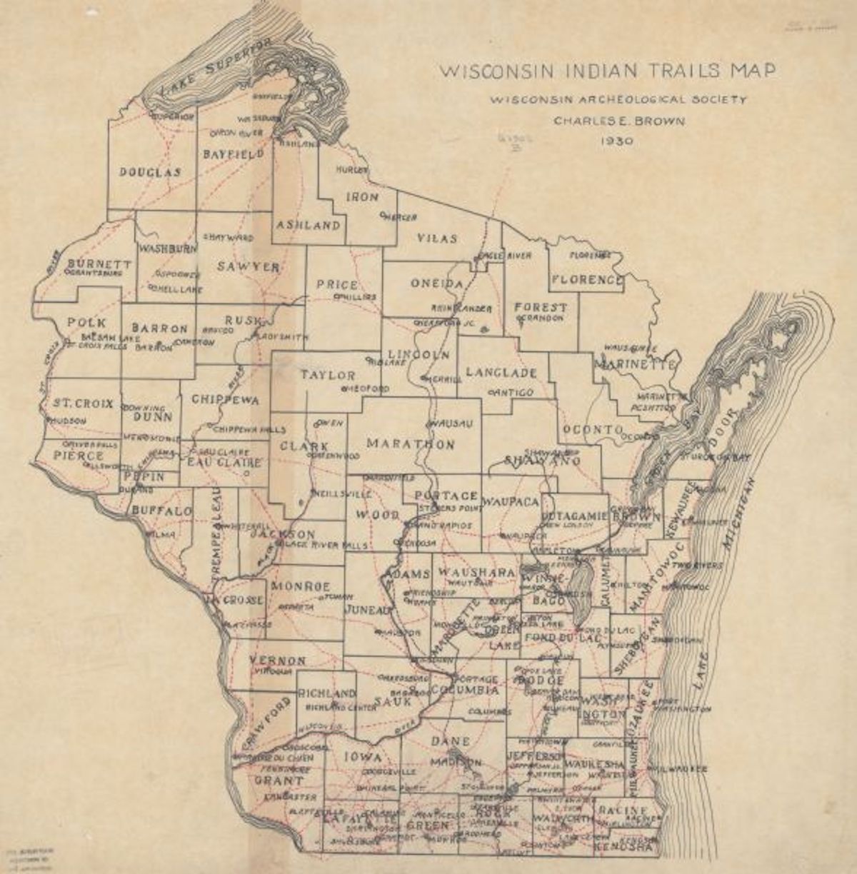
Collecting Western Dane County Native American & Settler Stories/Artifacts From 1820 to 1870
Contact: David Stanfield jdstanfi@wisc.edu or (608) 767-3449